Your remote groundwater team, from a quick check to a full model
From one borehole to a whole district, KAI does the groundwork behind consultants, drillers, NGOs and companies: the records, the geology, the models and the water budget, delivered in a shared workspace, in East Africa and beyond.
Groundwater questions come in every size: one household borehole, a farm's irrigation supply, a factory's wellfield, a district plan. Each needs the same groundwork first: finding the records, reading the geology, building a model and checking the water budget.
That groundwork eats the hours consultants and water teams would rather spend in the field and with their clients. Small jobs rarely pay for it, so they are done on instinct; big jobs repeat it from scratch.
Our solutionKAI works as your remote co-worker. You bring the site and the question; we bring the data, the models and the maps, and hand them back in a shared workspace that your team and your client can open on a phone.
Simple questions get a quick answer: the records near the site, the depth to water and to bedrock, and the odds of enough water for a hand pump or a motorised pump, from a method tested blind on 595 wells.
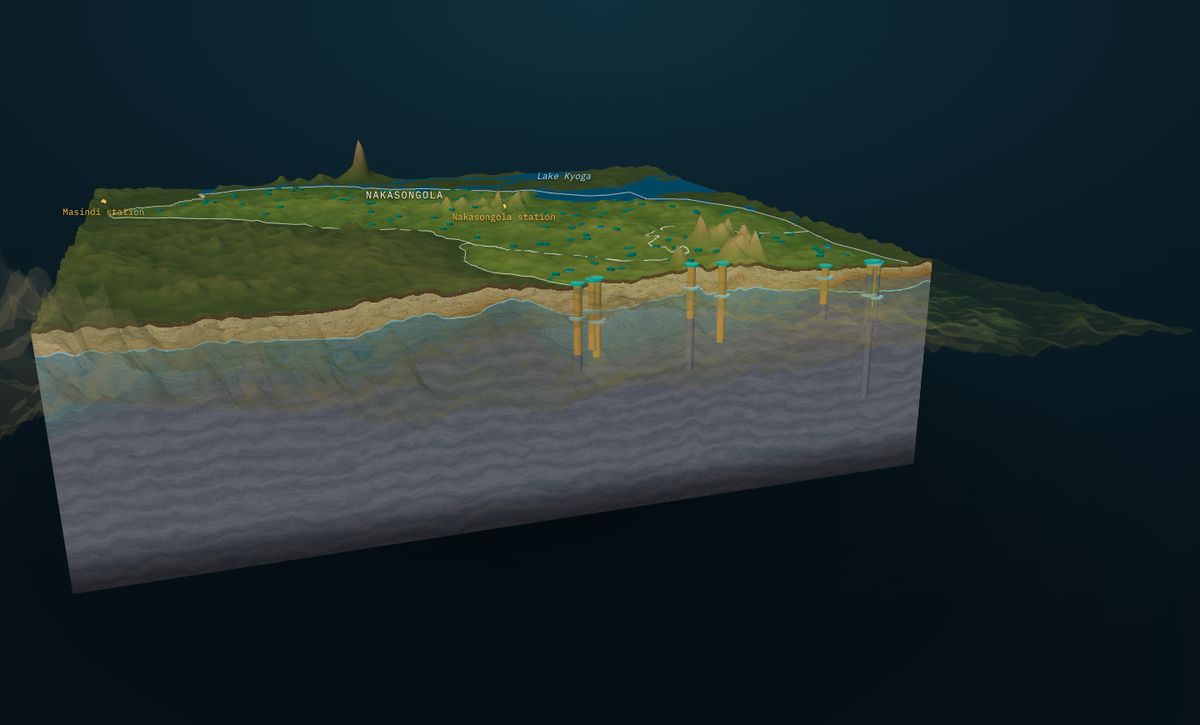
Complex ones get the full study: geology and fractures, borehole records in 3D under the real terrain, recharge from decades of rainfall, sustainable yield against demand, pumping drawdown, water-level records read to separate pumping from weather, and drilling options ranked with their depths and odds. You keep the client and the fieldwork.
Who it is for: Hydrogeology consultants and drillers, NGOs and WASH programmes, water authorities, farms, factories, developers and households, in East Africa and beyond
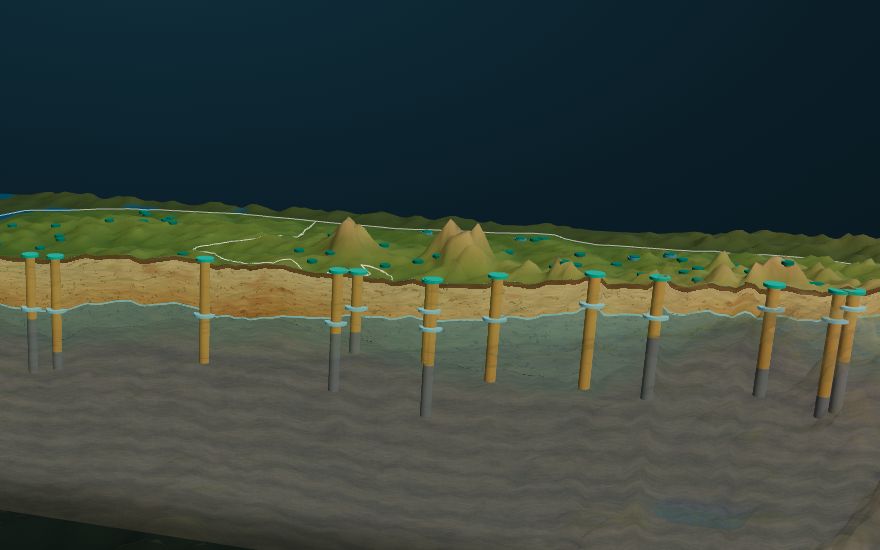
- Answers sized to the question, from one site to a district
- Hours of desk work back for your team
- Every number traceable to its data and method
- Fewer dry and low-yield boreholes
- One shared workspace for your team and your client
How it works, step by step
Ask
You send the site or area and the question, in a few lines.
Gather
We pull the records, geology, terrain and rainfall.
Model
Water table and bedrock in 3D, and the drilling odds.
Check
Recharge, sustainable yield and pumping drawdown.
Deliver
Maps, numbers and a plain recommendation in your workspace.
What powers this solution
Interested in groundwater answers, from a quick check to a full model?
Contact our team today, or start in the KAI portal.